Sob Lake - W Caméra de circulation en direct
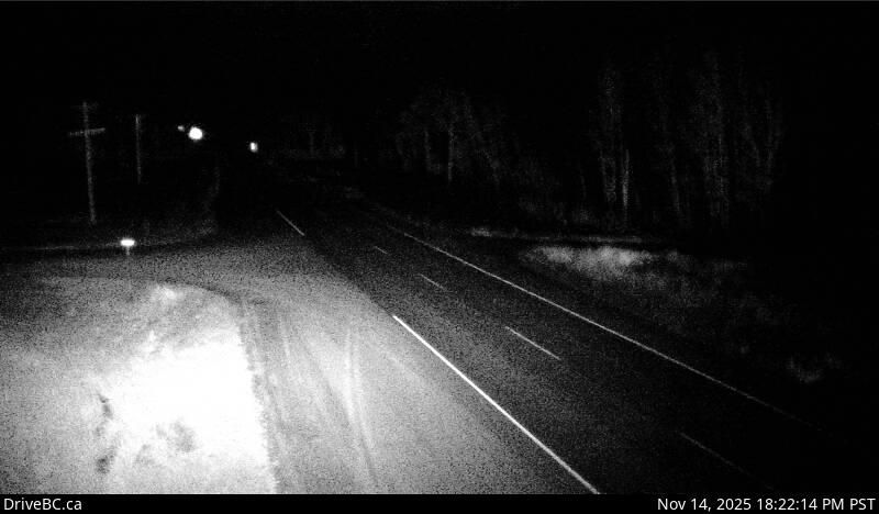
Highway 16 at Sob Lake Road in Vanderhoof, looking west.
Emplacement : Area F (Chilako Valley/Dog Creek), Regional District of Bulkley-Nechako, British Columbia, Canada
Source de l'image : BC Ministry of Transportation and Transit
Latitude : 53.936241
Longitude : -123.750506
Google Maps : Voir
Apple Maps : Voir
Prévisions locales
Graphique de température, humidité relative et vitesse du vent
Chargement des données...
Caméras à proximité
Highway 16 at Bobtail Forest Road near Bednesti Lake between Prince George and Vanderhoof, looking west.
Distance : environ 23.16 kilomètres
Highway 16 at Bobtail Forest Road near Bednesti Lake between Prince George and Vanderhoof, looking east.
Distance : environ 23.16 kilomètres
Highway 16 at Highway 27 junction, looking north.
Distance : environ 25.62 kilomètres