Bednesti Lake - E Caméra de circulation en direct
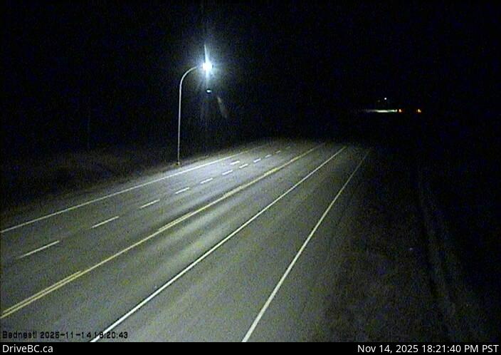
Highway 16 at Bobtail Forest Road near Bednesti Lake between Prince George and Vanderhoof, looking east.
Emplacement : Area C (Chilako River/Nechako), Regional District of Fraser-Fort George, British Columbia, Canada
Source de l'image : BC Ministry of Transportation and Transit
Latitude : 53.880911
Longitude : -123.409617
Google Maps : Voir
Apple Maps : Voir
Prévisions locales
Graphique de température, humidité relative et vitesse du vent
Chargement des données...
Caméras à proximité
Highway 16 at Bobtail Forest Road near Bednesti Lake between Prince George and Vanderhoof, looking west.
Distance : environ 0 mètres
Highway 16 about 33 km west of Prince George, looking west.
Distance : environ 19.01 kilomètres
Highway 16 at Sob Lake Road in Vanderhoof, looking west.
Distance : environ 23.16 kilomètres
Highway 16 at Sob Lake Road in Vanderhoof, looking east.
Distance : environ 23.16 kilomètres