Harrop Ferry North Landing Caméra de circulation en direct
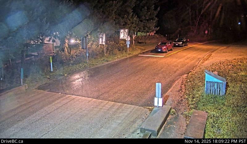
Harrop Ferry Landing northbound line-up, looking south.
Emplacement : Area E (Balfour/Cottonwood Lake), Regional District of Central Kootenay, British Columbia, Canada
Harrop Ferry information. For inland ferry updates visit DriveBC .
Source de l'image : BC Ministry of Transportation and Transit
Latitude : 49.611264
Longitude : -117.054139
Google Maps : Voir
Apple Maps : Voir
Prévisions locales
Graphique de température, humidité relative et vitesse du vent
Chargement des données...
Caméras à proximité
Harrop Ferry Landing on south side of Kootenay Lake, looking at the north side landing.
Distance : environ 0 mètres
Harrop Ferry Landing on the south side of Kootenay Lake, looking north.
Distance : environ 0 mètres
Balfour ferry terminal, looking north towards Highway 3A.
Distance : environ 6.98 kilomètres
Balfour ferry terminal, looking south at ferry loading ramp.
Distance : environ 6.98 kilomètres