Balfour Ferry Terminal Caméra de circulation en direct
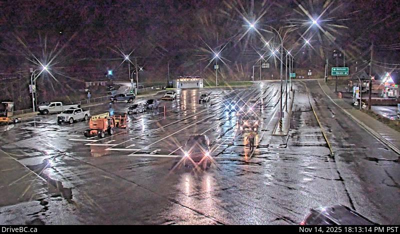
Balfour ferry terminal, looking north towards Highway 3A.
Emplacement : Area E (Balfour/Cottonwood Lake), Regional District of Central Kootenay, British Columbia, Canada
Kootenay Lake Ferry (Balfour) information. For inland ferry incidents or delays visit DriveBC .
Source de l'image : BC Ministry of Transportation and Transit
Latitude : 49.624352
Longitude : -116.959336
Google Maps : Voir
Apple Maps : Voir
Prévisions locales
Graphique de température, humidité relative et vitesse du vent
Chargement des données...
Caméras à proximité
Balfour ferry terminal, looking south at ferry loading ramp.
Distance : environ 0 mètres
Highway 3A and Highway 31 at Balfour ferry terminal entrance of Ferry Landing Road, looking southwest.
Distance : environ 184 mètres
Highway 3A and Highway 31 at Balfour ferry terminal entrance near Ferry Landing Road, looking northeast.
Distance : environ 184 mètres
Highway 3A and Highway 31 at Busk Road near the Balfour ferry terminal, looking at ferry parking lot.
Distance : environ 184 mètres