Hosmer Caméra de circulation en direct
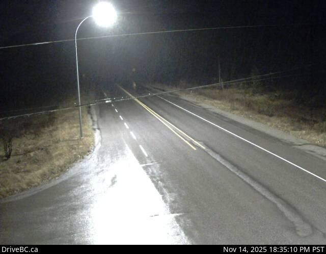
Highway 3 about 12 km north of Fernie in Hosmer, looking north.
Emplacement : Area A (Upper Flathead/Elk Valley), Regional District of East Kootenay, British Columbia, Canada
Source de l'image : BC Ministry of Transportation and Transit
Latitude : 49.58891
Longitude : -114.96312
Google Maps : Voir
Apple Maps : Voir
Prévisions locales
Graphique de température, humidité relative et vitesse du vent
Chargement des données...
Caméras à proximité
Highway 3 about 2 km west of the Alberta border at Sparwood Weigh Scale, looking southeast.
Distance : environ 19.28 kilomètres
Highway 3 about 10 km south of Fernie at Morrissey Junction, looking north.
Distance : environ 22.45 kilomètres
Highway 43 between Sparwood and Elkford at Line Creek Mine Road, looking north.
Distance : environ 33.15 kilomètres
Highway 3 about 1 km west of Elko at Highway 93 junction, looking west.
Distance : environ 34.85 kilomètres