Line Creek Mine Road Caméra de circulation en direct
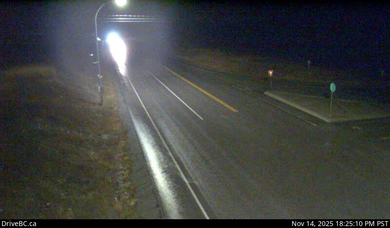
Highway 43 between Sparwood and Elkford at Line Creek Mine Road, looking north.
Emplacement : Area A (Upper Flathead/Elk Valley), Regional District of East Kootenay, British Columbia, Canada
Source de l'image : BC Ministry of Transportation and Transit
Latitude : 49.883292
Longitude : -114.890622
Google Maps : Voir
Apple Maps : Voir
Prévisions locales
Graphique de température, humidité relative et vitesse du vent
Chargement des données...
Caméras à proximité
Highway 43 at Fording River Road in Elkford, looking north.
Distance : environ 15.50 kilomètres
Highway 43 at Fording River Road in Elkford, looking west.
Distance : environ 15.50 kilomètres
Highway 43 at Fording River Road in Elkford, looking east.
Distance : environ 15.50 kilomètres
Highway 43 at Fording River Road in Elkford, looking south.
Distance : environ 15.50 kilomètres