Menzies Hill - S Caméra de circulation en direct
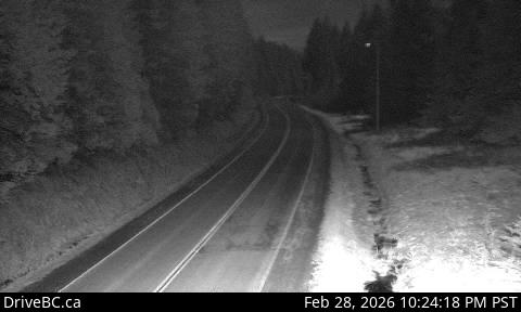
Highway 19 about 7 km southeast of Roberts Lake and 24 km north of Campbell River at Menzies Hill, looking south.
Emplacement : Area A (Kyuquot/Nootka/Sayward), Strathcona Regional District, British Columbia, Canada
Source de l'image : BC Ministry of Transportation and Transit
Latitude : 50.17186
Longitude : -125.4792
Google Maps : Voir
Apple Maps : Voir
Prévisions locales
Graphique de température, humidité relative et vitesse du vent
Chargement des données...
Caméras à proximité
Highway 19 about 7 km southeast of Roberts Lake and 24 km north of Campbell River at Menzies Hill, looking north.
Distance : environ 0 mètres
Highway 19 about 31 km north of Campbell River, looking north.
Distance : environ 6.68 kilomètres
Highway 19 north of Campbell River between Orange Point Road and Duncan Bay Road, looking north.
Distance : environ 18.79 kilomètres
Highway 19 north of Campbell River between Orange Point Road and Duncan Bay Road, looking south.
Distance : environ 18.79 kilomètres