Duncan Bay - N Caméra de circulation en direct
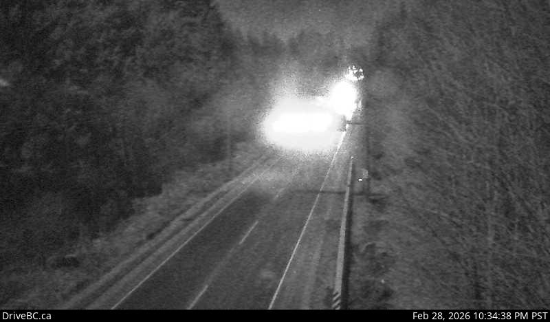
Highway 19 north of Campbell River between Orange Point Road and Duncan Bay Road, looking north.
Emplacement : Campbell River, Strathcona Regional District, British Columbia, Canada
Source de l'image : BC Ministry of Transportation and Transit
Latitude : 50.061483
Longitude : -125.279735
Google Maps : Voir
Apple Maps : Voir
Prévisions locales
Graphique de température, humidité relative et vitesse du vent
Chargement des données...
Caméras à proximité
Highway 19 north of Campbell River between Orange Point Road and Duncan Bay Road, looking south.
Distance : environ 0 mètres
Highway 19 about 2.5 km south of Campbell River at Willis Road, looking north.
Distance : environ 5.29 kilomètres
Highway 19 about 2.5 km south of Campbell River at Willis Road, looking south.
Distance : environ 5.29 kilomètres
Highway 19 about 2.5 km south of Campbell River at Willis Road, looking west.
Distance : environ 5.29 kilomètres