Squilax - E Live Traffic Camera
Highway 1 east of Squilax Bridge, looking east.
Location: Area F (Scotch Creek/Seymour Arm), Columbia-Shuswap Regional District, British Columbia, Canada
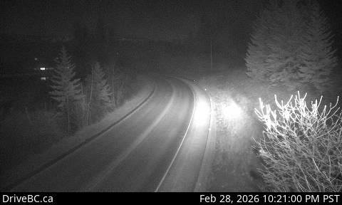
Image source: BC Ministry of Transportation and Transit
Latitude: 50.87278
Longitude: -119.57111
Google Maps: View
Apple Maps: View
Local Forecasts
Temperature, Relative Humidity and Wind Speed Chart
Loading Data...
Nearby Cameras
Adams Lake Ferry east shore landing, looking at ferry landing on east side.
Distance: approximately 11.48 kilometres
Adams Lake Ferry west shore landing, looking at ferry landing on west side of lake.
Distance: approximately 11.48 kilometres
Adams Lake Ferry west shore landing, looking at ferry line up toward Rawson Road.
Distance: approximately 11.48 kilometres