Adams Lake West Ferry Landing Live Traffic Camera
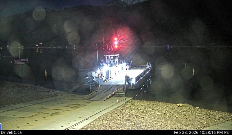
Adams Lake Ferry west shore landing, looking at ferry landing on west side of lake.
Location: Area P (Rivers and the Peaks), Thompson-Nicola Regional District, British Columbia, Canada
Adams Lake Cable Ferry information. For inland ferry updates visit DriveBC.
Image source: BC Ministry of Transportation and Transit
Latitude: 50.952757
Longitude: -119.67456
Google Maps: View
Apple Maps: View
Local Forecasts
Temperature, Relative Humidity and Wind Speed Chart
Loading Data...
Nearby Cameras
Adams Lake Ferry east shore landing, looking at ferry landing on east side.
Distance: approximately 0 metres
Adams Lake Ferry west shore landing, looking at ferry line up toward Rawson Road.
Distance: approximately 0 metres
Highway 1 east of Squilax Bridge, looking west.
Distance: approximately 11.48 kilometres
Highway 1 east of Squilax Bridge, looking east.
Distance: approximately 11.48 kilometres