Buckley Bay Road Live Traffic Camera
Highway 19 near the Buckley Bay Road Interchange, looking north.
Location: Area A (Baynes Sound), Comox Valley Regional District, British Columbia, Canada
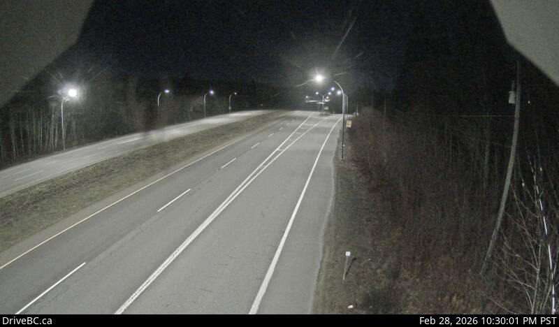
Image source: BC Ministry of Transportation and Transit
Latitude: 49.520863
Longitude: -124.855539
Google Maps: View
Apple Maps: View
Local Forecasts
Temperature, Relative Humidity and Wind Speed Chart
Loading Data...
Nearby Cameras
Highway 19 about 29 km north of Parksville at Cook Creek Road, looking north.
Distance: approximately 12.64 kilometres
Highway 19A at 17 Street Bridge in Courtenay, looking southbound on Comox Road.
Distance: approximately 20.74 kilometres
Highway 19A at 17 Street Bridge in Courtenay, looking northbound.
Distance: approximately 20.74 kilometres
Highway 19A at 17 Street Bridge in Courtenay, looking west.
Distance: approximately 20.74 kilometres