Cook Creek Road Live Traffic Camera
Highway 19 about 29 km north of Parksville at Cook Creek Road, looking north.
Location: Area A (Baynes Sound), Comox Valley Regional District, British Columbia, Canada
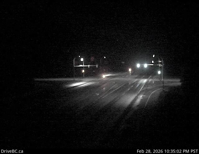
Image source: BC Ministry of Transportation and Transit
Latitude: 49.432995
Longitude: -124.7445
Google Maps: View
Apple Maps: View
Local Forecasts
Temperature, Relative Humidity and Wind Speed Chart
Loading Data...
Nearby Cameras
Highway 19 at Horne Lake Road, looking north.
Distance: approximately 11.46 kilometres
Highway 19 at Horne Lake Road, looking south.
Distance: approximately 11.46 kilometres
Highway 19 at Horne Lake Road, looking west.
Distance: approximately 11.46 kilometres
Highway 19 at Horne Lake Road, looking east.
Distance: approximately 11.46 kilometres