Fort St. John - SE Live Traffic Camera
Highway 97 at 100 Avenue in Fort St. John, looking southeast.
Location: Fort St. John, Peace River Regional District, British Columbia, Canada
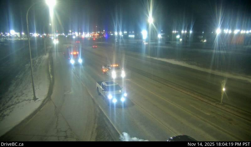
Image source: BC Ministry of Transportation and Transit
Latitude: 56.245854
Longitude: -120.872941
Google Maps: View
Apple Maps: View
Local Forecasts
Temperature, Relative Humidity and Wind Speed Chart
Loading Data...
Nearby Cameras
Highway 97 at 100 Avenue in Fort St. John, looking north.
Distance: approximately 0 metres
Highway 97 at 100 Avenue in Fort St. John, looking northwest.
Distance: approximately 0 metres
Highway 97 at 100 Avenue in Fort St. John, looking south.
Distance: approximately 0 metres
Highway 97 at Pine Avenue in Taylor, looking north.
Distance: approximately 15.77 kilometres