Taylor - N Live Traffic Camera
Highway 97 at Pine Avenue in Taylor, looking north.
Location: Taylor, Peace River Regional District, British Columbia, Canada
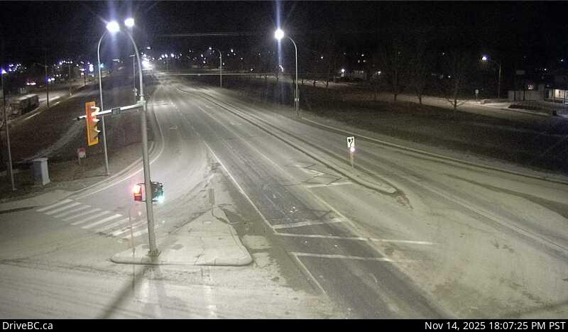
Image source: BC Ministry of Transportation and Transit
Latitude: 56.152342
Longitude: -120.681289
Google Maps: View
Apple Maps: View
Local Forecasts
Temperature, Relative Humidity and Wind Speed Chart
Loading Data...
Nearby Cameras
Highway 97 at Big Bam Road in South Taylor, looking south.
Distance: approximately 2.52 kilometres