Harrop Ferry North Landing Live Traffic Camera
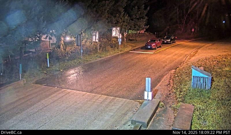
Harrop Ferry Landing northbound line-up, looking south.
Location: Area E (Balfour/Cottonwood Lake), Regional District of Central Kootenay, British Columbia, Canada
Harrop Ferry information. For inland ferry updates visit DriveBC .
Image source: BC Ministry of Transportation and Transit
Latitude: 49.611264
Longitude: -117.054139
Google Maps: View
Apple Maps: View
Local Forecasts
Temperature, Relative Humidity and Wind Speed Chart
Loading Data...
Nearby Cameras
Harrop Ferry Landing on south side of Kootenay Lake, looking at the north side landing.
Distance: approximately 0 metres
Harrop Ferry Landing on the south side of Kootenay Lake, looking north.
Distance: approximately 0 metres
Balfour ferry terminal, looking north towards Highway 3A.
Distance: approximately 6.98 kilometres
Balfour ferry terminal, looking south at ferry loading ramp.
Distance: approximately 6.98 kilometres