Balfour Ferry Ramp Live Traffic Camera
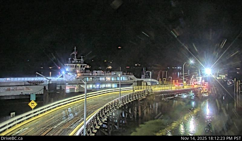
Balfour ferry terminal, looking south at ferry loading ramp.
Location: Area E (Balfour/Cottonwood Lake), Regional District of Central Kootenay, British Columbia, Canada
Kootenay Lake Ferry (Balfour) information. For inland ferry incidents or delays visit DriveBC .
Image source: BC Ministry of Transportation and Transit
Latitude: 49.624352
Longitude: -116.959336
Google Maps: View
Apple Maps: View
Local Forecasts
Temperature, Relative Humidity and Wind Speed Chart
Loading Data...
Nearby Cameras
Balfour ferry terminal, looking north towards Highway 3A.
Distance: approximately 0 metres
Highway 3A and Highway 31 at Balfour ferry terminal entrance of Ferry Landing Road, looking southwest.
Distance: approximately 184 metres
Highway 3A and Highway 31 at Balfour ferry terminal entrance near Ferry Landing Road, looking northeast.
Distance: approximately 184 metres
Highway 3A and Highway 31 at Busk Road near the Balfour ferry terminal, looking at ferry parking lot.
Distance: approximately 184 metres