Highbridge - N Live Traffic Camera
Highway 33 about 14 km north of Westbridge and 20 km south of Beaverdell, looking north.
Location: Area E (Beaverdell/West Boundary), Regional District of Kootenay Boundary, British Columbia, Canada
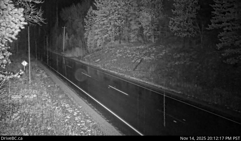
Image source: BC Ministry of Transportation and Transit
Latitude: 49.280224
Longitude: -119.0261
Google Maps: View
Apple Maps: View
Local Forecasts
Temperature, Relative Humidity and Wind Speed Chart
Loading Data...
Nearby Cameras
Highway 33 about 14 km north of Westbridge and 20 km south of Beaverdell, looking south.
Distance: approximately 0 metres
Highway 3 at Highway 33 junction in Rock Creek, looking northwest.
Distance: approximately 24.86 kilometres
Highway 3 at Florence Street in Midway, looking west.
Distance: approximately 35.06 kilometres
Highway 3 at Florence Street in Midway, looking east.
Distance: approximately 35.06 kilometres