Rock Creek Live Traffic Camera
Highway 3 at Highway 33 junction in Rock Creek, looking northwest.
Location: Area E (Beaverdell/West Boundary), Regional District of Kootenay Boundary, British Columbia, Canada
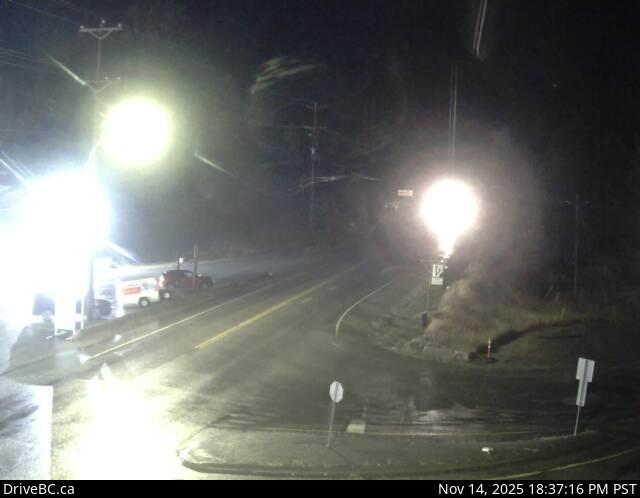
Image source: BC Ministry of Transportation and Transit
Latitude: 49.057314
Longitude: -118.999536
Google Maps: View
Apple Maps: View
Local Forecasts
Temperature, Relative Humidity and Wind Speed Chart
Loading Data...
Nearby Cameras
Highway 3 at Florence Street in Midway, looking west.
Distance: approximately 17.09 kilometres
Highway 3 at Florence Street in Midway, looking east.
Distance: approximately 17.09 kilometres
Highway 3 at Florence Street in Midway, looking south.
Distance: approximately 17.09 kilometres
Highway 3 about 9 km west of the Anarchist Summit, looking east.
Distance: approximately 23.70 kilometres