Heckman Summit Live Traffic Camera
Highway 20 about 88 km from Bella Coola and 41 km from Anahim Lake, near gate at top of Bella Coola hill, looking southwest.
Location: Area C (Hagensborg/Talchako/Atnarko), Central Coast Regional District, British Columbia, Canada
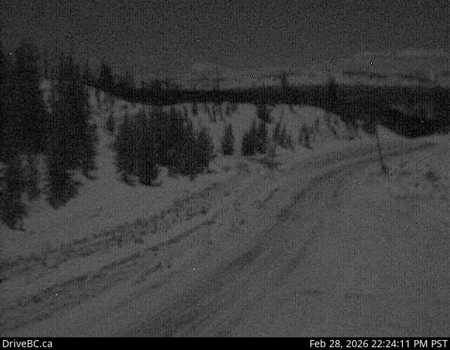
Image source: BC Ministry of Transportation and Transit
Latitude: 52.522449
Longitude: -125.822441
Google Maps: View
Apple Maps: View
Local Forecasts
Temperature, Relative Humidity and Wind Speed Chart
Loading Data...
Nearby Cameras
Highway 20 near Anahim Lake, about 140 km east of Bella Coola, looking west.
Distance: approximately 34.96 kilometres
Highway 20 between Bella Coola and Hagensborg, looking west.
Distance: approximately 55.48 kilometres
Highway 35 at Francois Lake Southbank Ferry Landing, looking north at ferry ramp.
Distance: approximately 167.10 kilometres
Highway 35 at Francois Lake Northbank Ferry Landing, looking at lineup.
Distance: approximately 170.09 kilometres