Hagensborg Live Traffic Camera
Highway 20 between Bella Coola and Hagensborg, looking west.
Location: Area D (East Bella Coola), Central Coast Regional District, British Columbia, Canada
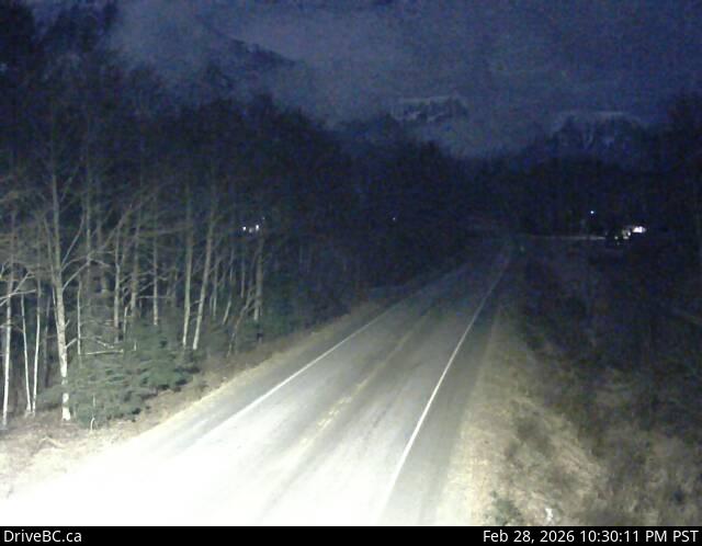
Image source: BC Ministry of Transportation and Transit
Latitude: 52.37708
Longitude: -126.60558
Google Maps: View
Apple Maps: View
Local Forecasts
Temperature, Relative Humidity and Wind Speed Chart
Loading Data...
Nearby Cameras
Highway 20 about 88 km from Bella Coola and 41 km from Anahim Lake, near gate at top of Bella Coola hill, looking southwest.
Distance: approximately 55.48 kilometres
Highway 20 near Anahim Lake, about 140 km east of Bella Coola, looking west.
Distance: approximately 87.96 kilometres
Highway 35 at Francois Lake Southbank Ferry Landing, looking north at ferry ramp.
Distance: approximately 191.49 kilometres
Highway 35 at Francois Lake Northbank Ferry Landing, looking at lineup.
Distance: approximately 194.58 kilometres