Peace View Rest Area - SW Live Traffic Camera
Highway 29 about 29 km west of Fort St. John, looking southwest.
Location: Area B (Finlay Valley/Beatton Valley), Peace River Regional District, British Columbia, Canada
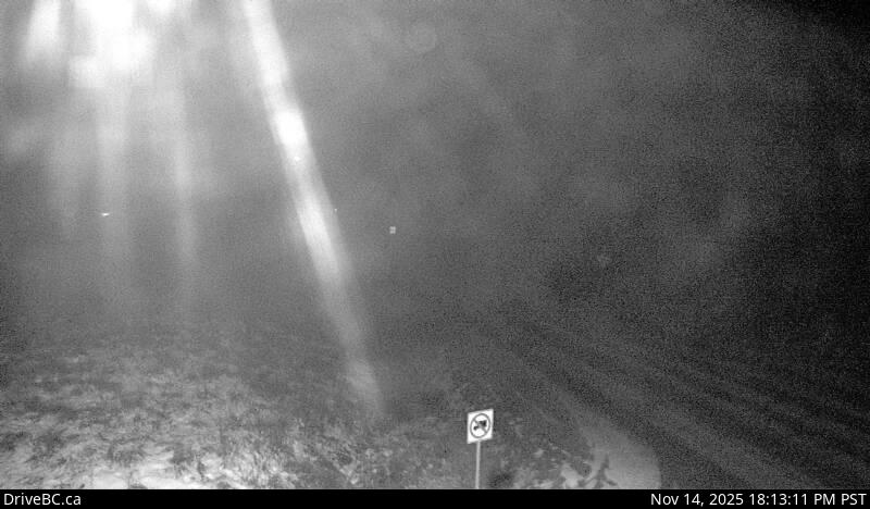
Image source: BC Ministry of Transportation and Transit
Latitude: 56.24084
Longitude: -121.404088
Google Maps: View
Apple Maps: View
Local Forecasts
Temperature, Relative Humidity and Wind Speed Chart
Loading Data...
Nearby Cameras
Highway 29 about 29 km west of Fort St. John, looking northeast.
Distance: approximately 0 metres
Highway 97 at 100 Avenue in Fort St. John, looking north.
Distance: approximately 32.82 kilometres
Highway 97 at 100 Avenue in Fort St. John, looking northwest.
Distance: approximately 32.82 kilometres
Highway 97 at 100 Avenue in Fort St. John, looking southeast.
Distance: approximately 32.82 kilometres