Tumbler Ridge Live Traffic Camera
Highway 29 at Highway 52 junction, looking westbound on Highway 29.
Location: Tumbler Ridge, Peace River Regional District, British Columbia, Canada
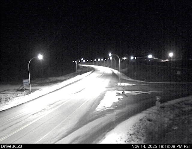
Image source: BC Ministry of Transportation and Transit
Latitude: 55.111334
Longitude: -120.969793
Google Maps: View
Apple Maps: View
Local Forecasts
Temperature, Relative Humidity and Wind Speed Chart
Loading Data...
Nearby Cameras
Highway 97 about 27 km east of Chetwynd on East Pine Hill, looking east.
Distance: approximately 70.03 kilometres
Highway 97 about 9 km east of Chetwynd at Wabi Estates Road, looking east.
Distance: approximately 72.35 kilometres
Highway 97 about 9 km east of Chetwynd at Wabi Estates Road, looking west.
Distance: approximately 72.35 kilometres
Highway 2 about 2 km west of BC/Alberta border at Highway 2 and Highway 52 junction, looking east.
Distance: approximately 72.52 kilometres