Chetwynd - E Live Traffic Camera
Highway 97 about 9 km east of Chetwynd at Wabi Estates Road, looking east.
Location: Area E (Moberly Lake/Sukunka Valley), Peace River Regional District, British Columbia, Canada
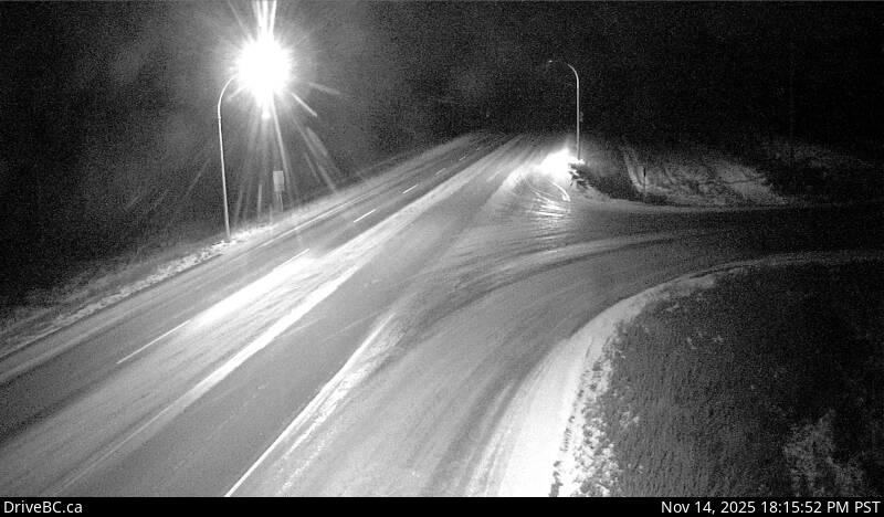
Image source: BC Ministry of Transportation and Transit
Latitude: 55.67885
Longitude: -121.530308
Google Maps: View
Apple Maps: View
Local Forecasts
Temperature, Relative Humidity and Wind Speed Chart
Loading Data...
Nearby Cameras
Highway 97 about 9 km east of Chetwynd at Wabi Estates Road, looking west.
Distance: approximately 0 metres
Highway 97 about 27 km east of Chetwynd on East Pine Hill, looking east.
Distance: approximately 17.59 kilometres
Highway 29 about 1.5 km north of Hudson's Hope at Powell Road, looking northeast.
Distance: approximately 46.43 kilometres
Highway 29 about 1.5 km north of Hudson's Hope at Powell Road, looking southwest.
Distance: approximately 46.43 kilometres