Jack McDonald Snowshed - W Live Traffic Camera
Highway 1 about 46 km east of Revelstoke, looking west.
Location: Area B (Shelter Bay/Mica Creek), Columbia-Shuswap Regional District, British Columbia, Canada
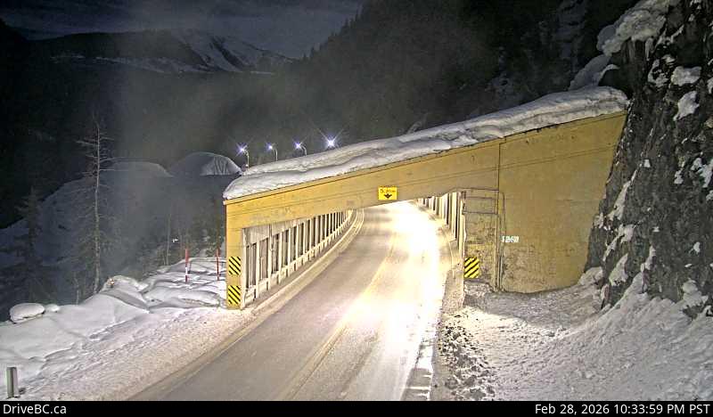
Image source: BC Ministry of Transportation and Transit
Latitude: 51.201263
Longitude: -117.745416
Google Maps: View
Apple Maps: View
Local Forecasts
Temperature, Relative Humidity and Wind Speed Chart
Loading Data...
Nearby Cameras
Highway 1 about 46 km east of Revelstoke, looking east.
Distance: approximately 0 metres
Highway 1 about 30 km east of Revelstoke, looking east.
Distance: approximately 11.44 kilometres
Highway 1 about 72 km east of Revelstoke at Rogers Pass in Glacier National Park, looking east.
Distance: approximately 19.25 kilometres
Highway 1 at east end of Columbia River Bridge in Revelstoke, looking eastbound.
Distance: approximately 39.44 kilometres