Revelstoke Live Traffic Camera
Highway 1 at east end of Columbia River Bridge in Revelstoke, looking eastbound.
Location: Revelstoke, Columbia-Shuswap Regional District, British Columbia, Canada
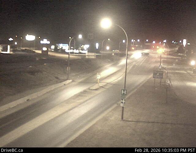
Image source: BC Ministry of Transportation and Transit
Latitude: 51.007261
Longitude: -118.21833
Google Maps: View
Apple Maps: View
Local Forecasts
Temperature, Relative Humidity and Wind Speed Chart
Loading Data...
Nearby Cameras
Highway 1 at Highway 23 in Revelstoke, looking north to Westside Road.
Distance: approximately 700 metres
Highway 1 at Highway 23 in Revelstoke, looking west.
Distance: approximately 700 metres
Highway 1 at Highway 23 in Revelstoke, looking east.
Distance: approximately 700 metres
Highway 1 at Highway 23 in Revelstoke, looking south to Highway 23.
Distance: approximately 700 metres