Castlegar - W Live Traffic Camera
Highway 3 at 14 Avenue in Castlegar, looking west.
Location: Castlegar, Regional District of Central Kootenay, British Columbia, Canada
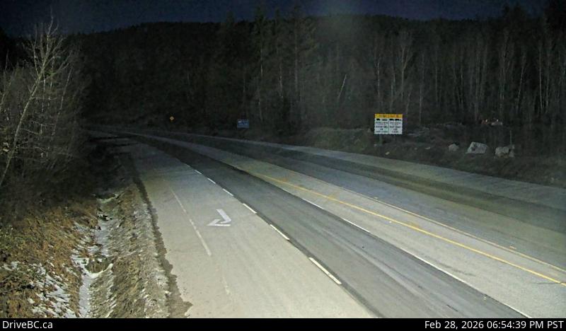
Image source: BC Ministry of Transportation and Transit
Latitude: 49.288856
Longitude: -117.661921
Google Maps: View
Apple Maps: View
Local Forecasts
Temperature, Relative Humidity and Wind Speed Chart
Loading Data...
Nearby Cameras
Highway 3 about 22 km south-east of Castlegar at the Bombi Summit, looking west.
Distance: approximately 11.80 kilometres
Highway 3A at Glade Ferry Road, looking north at west side ferry line up.
Distance: approximately 14.53 kilometres
Highway 3A at Glade Ferry Road, looking at ferry landing on west side of river.
Distance: approximately 14.53 kilometres