Glade Ferry Terminal - N Live Traffic Camera
Highway 3A at Glade Ferry Road, looking north at west side ferry line up.
Location: Area I (Sentinel Mountain), Regional District of Central Kootenay, British Columbia, Canada
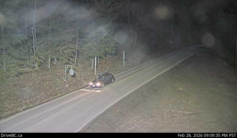
Image source: BC Ministry of Transportation and Transit
Latitude: 49.395604
Longitude: -117.546205
Google Maps: View
Apple Maps: View
Local Forecasts
Temperature, Relative Humidity and Wind Speed Chart
Loading Data...
Nearby Cameras
Highway 3A at Glade Ferry Road, looking at ferry landing on west side of river.
Distance: approximately 0 metres
Highway 3A at Glade Ferry Road, looking at ferry landing on east side of river.
Distance: approximately 0 metres
Highway 6 and Highway 3A at Playmor Junction, looking north.
Distance: approximately 5.19 kilometres
Highway 6 and Highway 3A at Playmor Junction, looking west.
Distance: approximately 5.19 kilometres