Balfour Ferry Approach - SW Live Traffic Camera
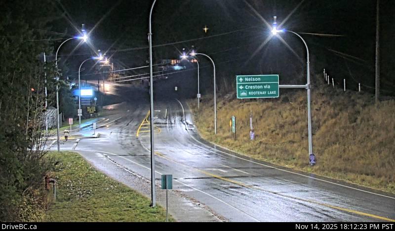
Highway 3A and Highway 31 at Balfour ferry terminal entrance of Ferry Landing Road, looking southwest.
Location: Area E (Balfour/Cottonwood Lake), Regional District of Central Kootenay, British Columbia, Canada
Kootenay Lake Ferry (Balfour) information. For inland ferry incidents or delays visit DriveBC .
Image source: BC Ministry of Transportation and Transit
Latitude: 49.625922
Longitude: -116.958542
Google Maps: View
Apple Maps: View
Local Forecasts
Temperature, Relative Humidity and Wind Speed Chart
Loading Data...
Nearby Cameras
Highway 3A and Highway 31 at Balfour ferry terminal entrance near Ferry Landing Road, looking northeast.
Distance: approximately 0 metres
Highway 3A and Highway 31 at Busk Road near the Balfour ferry terminal, looking at ferry parking lot.
Distance: approximately 0 metres
Balfour ferry terminal, looking north towards Highway 3A.
Distance: approximately 184 metres
Balfour ferry terminal, looking south at ferry loading ramp.
Distance: approximately 184 metres