South Taylor Hill - N Live Traffic Camera
Highway 97 about 20 km south of Fort St. John at South Taylor Hill, looking north.
Location: Taylor, Peace River Regional District, British Columbia, Canada
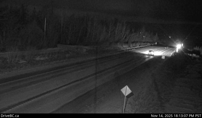
Image source: BC Ministry of Transportation and Transit
Latitude: 56.09491
Longitude: -120.642756
Google Maps: View
Apple Maps: View
Local Forecasts
Temperature, Relative Humidity and Wind Speed Chart
Loading Data...
Nearby Cameras
Highway 97 about 20 km south of Fort St. John at South Taylor Hill, looking south.
Distance: approximately 0 metres
Highway 97 at Big Bam Road in South Taylor, looking south.
Distance: approximately 4.31 kilometres
Highway 97 at Pine Avenue in Taylor, looking north.
Distance: approximately 6.82 kilometres
Highway 97 at Pine Avenue in Taylor, looking west.
Distance: approximately 6.82 kilometres