Hudson's Hope - NE Caméra de circulation en direct
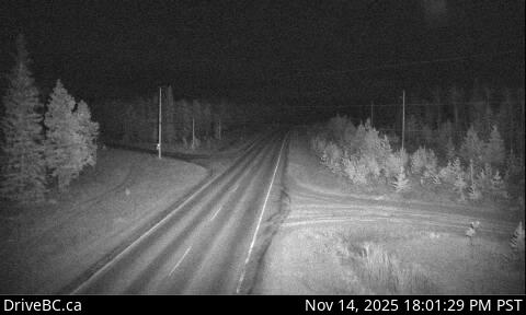
Highway 29 about 1.5 km north of Hudson's Hope at Powell Road, looking northeast.
Emplacement : Hudson's Hope, Peace River Regional District, British Columbia, Canada
Source de l'image : BC Ministry of Transportation and Transit
Latitude : 56.0447
Longitude : -121.889
Google Maps : Voir
Apple Maps : Voir
Prévisions locales
Graphique de température, humidité relative et vitesse du vent
Chargement des données...
Caméras à proximité
Highway 29 about 1.5 km north of Hudson's Hope at Powell Road, looking southwest.
Distance : environ 0 mètres
Highway 29 about 29 km west of Fort St. John, looking southwest.
Distance : environ 37.12 kilomètres
Highway 29 about 29 km west of Fort St. John, looking northeast.
Distance : environ 37.12 kilomètres
Highway 97 about 9 km east of Chetwynd at Wabi Estates Road, looking east.
Distance : environ 46.43 kilomètres