Alexis Creek Caméra de circulation en direct
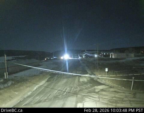
Highway 20 at Stum Lake Road in Alexis Creek, looking west.
Emplacement : Area K (East Chilcotin), Cariboo Regional District, British Columbia, Canada
Source de l'image : BC Ministry of Transportation and Transit
Latitude : 52.08272
Longitude : -123.275344
Google Maps : Voir
Apple Maps : Voir
Prévisions locales
Graphique de température, humidité relative et vitesse du vent
Chargement des données...
Caméras à proximité
Highway 97 and Beaver Lake Road junction north of McLeese Lake, looking southeast.
Distance : environ 76.58 kilomètres
Highway 97 and Beaver Lake Road junction north of McLeese Lake, looking west.
Distance : environ 76.58 kilomètres
Highway 97 and Beaver Lake Road junction north of McLeese Lake, looking south.
Distance : environ 76.58 kilomètres
Highway 97 north of Williams Lake near the turn off to the Bull Mountain ski area, looking north.
Distance : environ 80.97 kilomètres