Pothole Lake - E Caméra de circulation en direct
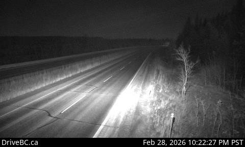
Highway 97C (Okanagan Connector) about 7 km east of Aspen Grove near Pothole Lake, looking east.
Emplacement : Area M (Beautiful Nicola Valley - North), Thompson-Nicola Regional District, British Columbia, Canada
Source de l'image : BC Ministry of Transportation and Transit
Latitude : 49.93951
Longitude : -120.54637
Google Maps : Voir
Apple Maps : Voir
Prévisions locales
Graphique de température, humidité relative et vitesse du vent
Chargement des données...
Caméras à proximité
Highway 97C (Okanagan Connector) about 7 km east of Aspen Grove near Pothole Lake, looking west.
Distance : environ 0 mètres
Highway 97C (Okanagan Connector) at Highway 5A junction near Aspen Grove, looking south.
Distance : environ 5.32 kilomètres
Highway 97C (Okanagan Connector) at Highway 5A junction near Aspen Grove, looking north.
Distance : environ 5.32 kilomètres
Highway 97C (Okanagan Connector) about 25 km east of Highway 5A and Highway 97C junction, looking west.
Distance : environ 14.59 kilomètres