Stuart Lake Highway - S Caméra de circulation en direct
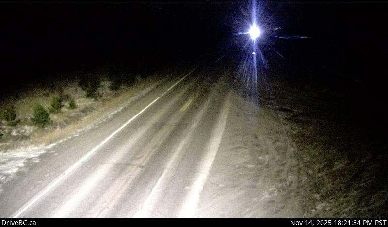
Highway 27 about 32 km south of Fort St. James, looking south.
Emplacement : Area F (Chilako Valley/Dog Creek), Regional District of Bulkley-Nechako, British Columbia, Canada
Source de l'image : BC Ministry of Transportation and Transit
Latitude : 54.18322
Longitude : -124.20621
Google Maps : Voir
Apple Maps : Voir
Prévisions locales
Graphique de température, humidité relative et vitesse du vent
Chargement des données...
Caméras à proximité
Highway 27 about 32 km south of Fort St. James, looking north.
Distance : environ 0 mètres
Highway 27 about 12 km south of Fort St. James at Spencer Pit, looking north.
Distance : environ 18.62 kilomètres
Highway 27 about 12 km south of Fort St. James at Spencer Pit, looking south.
Distance : environ 18.62 kilomètres
Highway 16 at Highway 27 junction, looking north.
Distance : environ 19.77 kilomètres