Devil Lake - NE Caméra de circulation en direct
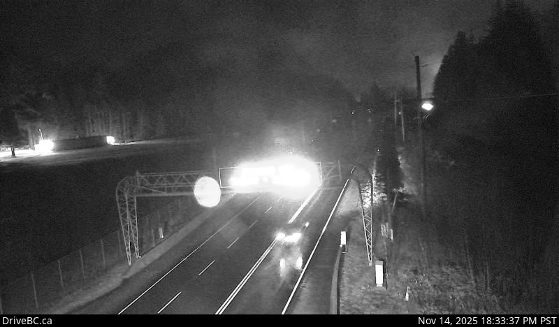
Highway 7 about 2 km west of Hope, looking eastbound.
Emplacement : Hope, Fraser Valley Regional District, British Columbia, Canada
Source de l'image : BC Ministry of Transportation and Transit
Latitude : 49.388413
Longitude : -121.467381
Google Maps : Voir
Apple Maps : Voir
Prévisions locales
Graphique de température, humidité relative et vitesse du vent
Chargement des données...
Caméras à proximité
Highway 3 at Highway 3/5 junction, looking east.
Distance : environ 8.08 kilomètres