Spences Bridge Caméra de circulation en direct
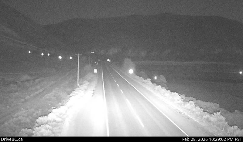
Highway 1 at the north end of Spences Bridge on the west side of the Thompson River, looking north.
Emplacement : Area I (Blue Sky Country), Thompson-Nicola Regional District, British Columbia, Canada
Source de l'image : BC Ministry of Transportation and Transit
Latitude : 50.426556
Longitude : -121.32952
Google Maps : Voir
Apple Maps : Voir
Prévisions locales
Graphique de température, humidité relative et vitesse du vent
Chargement des données...
Caméras à proximité
Highway 1 about 6 km east of Lytton Airport, looking west.
Distance : environ 23.23 kilomètres
Highway 1 about 6 km east of Lytton Airport, looking east.
Distance : environ 23.23 kilomètres
Highway 97C at Highland Valley Road between Merritt and Ashcroft, looking north.
Distance : environ 23.81 kilomètres
Highway 97C at Highland Valley Road between Merritt and Ashcroft, looking south.
Distance : environ 23.81 kilomètres