Shelter Bay - End Caméra de circulation en direct
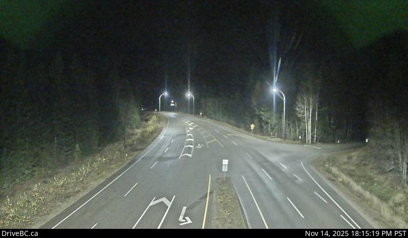
Highway 23 near the Upper Arrow Lake ferry landing at Shelter Bay, end of queue, looking north.
Emplacement : Area B (Shelter Bay/Mica Creek), Columbia-Shuswap Regional District, British Columbia, Canada
Upper Arrow Lake Ferry information. For inland ferry updates visit DriveBC.
Source de l'image : BC Ministry of Transportation and Transit
Latitude : 50.637782
Longitude : -117.926752
Google Maps : Voir
Apple Maps : Voir
Prévisions locales
Graphique de température, humidité relative et vitesse du vent
Chargement des données...
Caméras à proximité
Highway 23 near the Upper Arrow Lake ferry landing at Shelter Bay, looking north at lineup.
Distance : environ 300 mètres
Highway 23 near the Upper Arrow Lake ferry landing at Shelter Bay, looking south at terminal ramp.
Distance : environ 300 mètres
Highway 23, at the bottom of the Upper Arrow Lake ferry landing at Galena Bay, looking at lineup.
Distance : environ 4.39 kilomètres
Highway 23, at the bottom of the Upper Arrow Lake ferry landing at Galena Bay, looking at ferry boarding.
Distance : environ 4.39 kilomètres