Good Hope Lake Caméra de circulation en direct
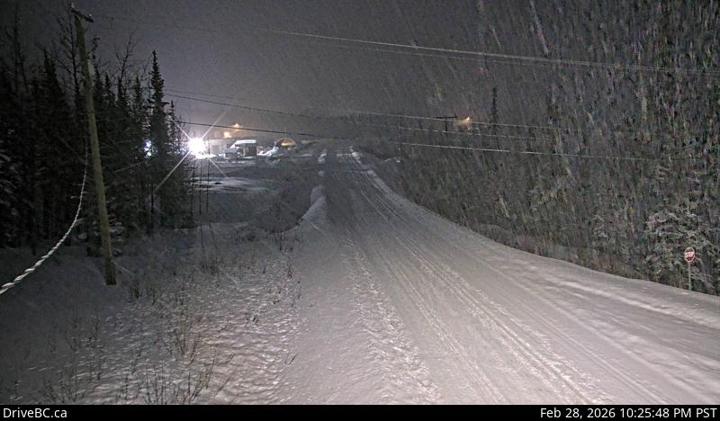
Highway 37 near Good Hope Lake, looking north.
Emplacement : Good Hope Lake, Stikine Region, British Columbia, Canada
Source de l'image : BC Ministry of Transportation and Transit
Latitude : 59.295036
Longitude : -129.289053
Google Maps : Voir
Apple Maps : Voir
Prévisions locales
Graphique de température, humidité relative et vitesse du vent
Chargement des données...
Caméras à proximité
Highway 37 at Commercial Drive in Dease Lake, looking north on Highway 37.
Distance : environ 103.32 kilomètres
Highway 97 at Highway 77 junction about 28 km north of Fort Nelson, looking east.
Distance : environ 354.62 kilomètres
Highway 37 and Highway 37A at Meziadin Junction, looking north.
Distance : environ 355.30 kilomètres