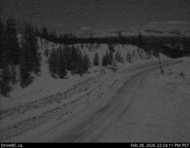
Heckman Summit Caméra de circulation en direct
Highway 20 about 88 km from Bella Coola and 41 km from Anahim Lake, near gate at top of Bella Coola hill, looking southwest.
Emplacement : Area C (Hagensborg/Talchako/Atnarko), Central Coast Regional District, British Columbia, Canada
Source de l'image : BC Ministry of Transportation and Transit
Latitude : 52.522449
Longitude : -125.822441
Google Maps : Voir
Apple Maps : Voir
Prévisions locales
Graphique de température, humidité relative et vitesse du vent
Chargement des données...
Caméras à proximité
Highway 20 near Anahim Lake, about 140 km east of Bella Coola, looking west.
Distance : environ 34.96 kilomètres
Highway 20 between Bella Coola and Hagensborg, looking west.
Distance : environ 55.48 kilomètres
Highway 35 at Francois Lake Southbank Ferry Landing, looking north at ferry ramp.
Distance : environ 167.10 kilomètres
Highway 35 at Francois Lake Northbank Ferry Landing, looking at lineup.
Distance : environ 170.09 kilomètres