Granisle Highway Caméra de circulation en direct
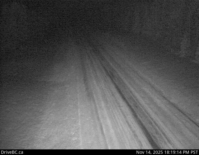
Granisle Highway (Highway 118), near summit. Approximately 14.5 km north of Topley, looking north.
Emplacement : Area G (Morice Valley/Babine Valley), Regional District of Bulkley-Nechako, British Columbia, Canada
Source de l'image : BC Ministry of Transportation and Transit
Latitude : 54.657052
Longitude : -126.30359
Google Maps : Voir
Apple Maps : Voir
Prévisions locales
Graphique de température, humidité relative et vitesse du vent
Chargement des données...
Caméras à proximité
Highway 16 about 39 km west of Burns Lake, looking west.
Distance : environ 23.63 kilomètres
Highway 16 about 14 km northwest of Houston at Anderson Road, looking southeast.
Distance : environ 35.18 kilomètres
Highway 16 about 14 km northwest of Houston at Anderson Road, looking northwest.
Distance : environ 35.18 kilomètres
Highway 16 at Butler Avenue in Houston, looking west.
Distance : environ 35.91 kilomètres