Nakusp - S Caméra de circulation en direct
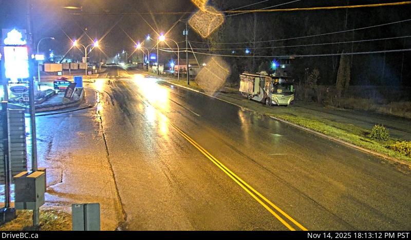
Highway 6 and Highway 23 Junction in Nakusp, looking south on Highway 6.
Emplacement : Nakusp, Regional District of Central Kootenay, British Columbia, Canada
Source de l'image : BC Ministry of Transportation and Transit
Latitude : 50.249722
Longitude : -117.811111
Google Maps : Voir
Apple Maps : Voir
Prévisions locales
Graphique de température, humidité relative et vitesse du vent
Chargement des données...
Caméras à proximité
Highway 6 and Highway 23 Junction in Nakusp, looking north on Highway 6.
Distance : environ 0 mètres
Highway 6 at South Arrow Park Ferry Terminal, 22 km south of Nakusp at junction of Upper and Lower Arrow Lakes, looking north.
Distance : environ 17.50 kilomètres
Highway 6 at South Arrow Park Ferry Terminal, 22 km south of Nakusp at junction of Upper and Lower Arrow Lakes, looking at north landing.
Distance : environ 17.50 kilomètres
Highway 6 at South Arrow Park Ferry Terminal, 22 km south of Nakusp at junction of Upper and Lower Arrow Lakes, looking south on Arrow Park Road.
Distance : environ 17.50 kilomètres