Laxgalts'ap Caméra de circulation en direct
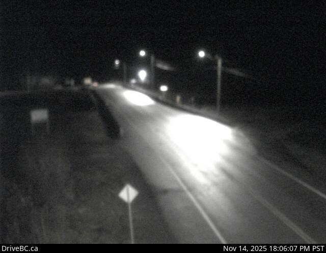
Highway 113 near the Village of Laxgalts'ap in the Nass Valley, looking eastbound.
Emplacement : West Vancouver, Laxgalts'ap, British Columbia, Canada
Source de l'image : BC Ministry of Transportation and Transit
Latitude : 55.035938
Longitude : -129.58446
Google Maps : Voir
Apple Maps : Voir
Prévisions locales
Graphique de température, humidité relative et vitesse du vent
Chargement des données...
Caméras à proximité
Highway 113 (Nass Road) about 3 km southwest of Village of Laxgalts'ap (Greenville), looking west.
Distance : environ 2.90 kilomètres
Highway 113 at Anlaw Road near Gitwinksihlkw, within Nisga'a Memorial Lava Bed Provincial Park, looking east.
Distance : environ 29.66 kilomètres
Highway 113 near Rosswood about 44 km north of Terrace, looking north.
Distance : environ 55.05 kilomètres
Highway 16 at Kasiks resort area about 60 km west of Terrace, looking east.
Distance : environ 81.74 kilomètres