Tupper - E Caméra de circulation en direct
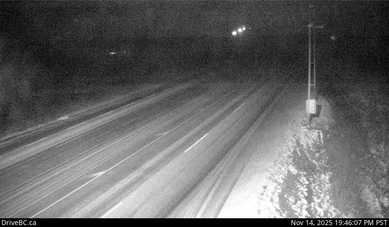
Highway 2 about 2 km west of BC/Alberta border at Highway 2 and Highway 52 junction, looking east.
Emplacement : Area D (Kiskatinaw Valley), Peace River Regional District, British Columbia, Canada
Source de l'image : BC Ministry of Transportation and Transit
Latitude : 55.485333
Longitude : -120.031187
Google Maps : Voir
Apple Maps : Voir
Prévisions locales
Graphique de température, humidité relative et vitesse du vent
Chargement des données...
Caméras à proximité
Highway 2 about 2 km west of BC/Alberta border at Highway 2 and Highway 52 junction, looking west.
Distance : environ 0 mètres
Highway 97 at Dangerous Goods Route, west of Dawson Creek, looking north.
Distance : environ 34.86 kilomètres
Highway 97 at Dangerous Goods Route, west of Dawson Creek, looking west.
Distance : environ 34.86 kilomètres
Highway 97 at Dangerous Goods Route, west of Dawson Creek, looking east.
Distance : environ 34.86 kilomètres