Augier Road - N Caméra de circulation en direct
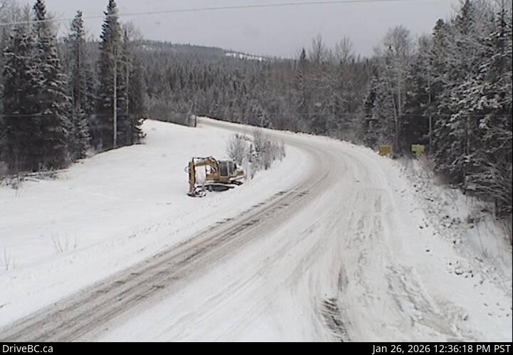
Highway 16 about 22 km east of Burns Lake at Augier Road, looking north.
Emplacement : Area B (Broman Lake/Sheraton), Regional District of Bulkley-Nechako, British Columbia, Canada
Source de l'image : BC Ministry of Transportation and Transit
Latitude : 54.173027
Longitude : -125.460943
Google Maps : Voir
Apple Maps : Voir
Prévisions locales
Graphique de température, humidité relative et vitesse du vent
Chargement des données...
Caméras à proximité
Highway 16 about 22 km east of Burns Lake at Augier Road, looking west.
Distance : environ 0 mètres
Highway 16 about 22 km east of Burns Lake at Augier Road, looking south.
Distance : environ 0 mètres
Highway 16 about 32 km east of Burns Lake, looking east.
Distance : environ 8.29 kilomètres
Highway 35 near Martin Road between Burns Lake and Francois Lake Northbank Ferry Landing, looking north.
Distance : environ 17.32 kilomètres