Adams Lake East Ferry Landing Caméra de circulation en direct
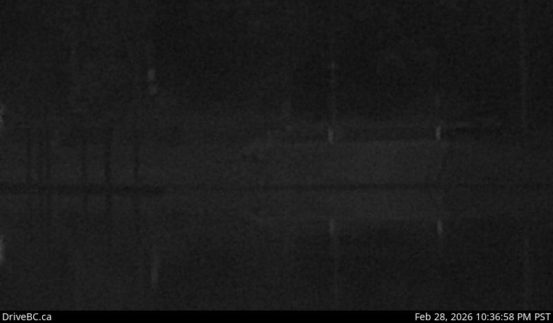
Adams Lake Ferry east shore landing, looking at ferry landing on east side.
Emplacement : Area P (Rivers and the Peaks), Thompson-Nicola Regional District, British Columbia, Canada
Adams Lake Cable Ferry information. For inland ferry updates visit DriveBC.
Source de l'image : BC Ministry of Transportation and Transit
Latitude : 50.952757
Longitude : -119.67456
Google Maps : Voir
Apple Maps : Voir
Prévisions locales
Graphique de température, humidité relative et vitesse du vent
Chargement des données...
Caméras à proximité
Adams Lake Ferry west shore landing, looking at ferry landing on west side of lake.
Distance : environ 0 mètres
Adams Lake Ferry west shore landing, looking at ferry line up toward Rawson Road.
Distance : environ 0 mètres