Needles Ferry Bend End Caméra de circulation en direct
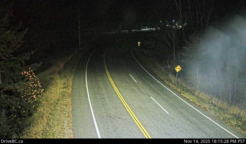
Highway 6 at Needles Ferry Landing, looking west away from ferry landing towards Needles Road N.
Emplacement : Area K (The Arrow Lakes), Regional District of Central Kootenay, British Columbia, Canada
Needles/Fauquier Ferry information. For inland ferry updates visit DriveBC .
Source de l'image : BC Ministry of Transportation and Transit
Latitude : 49.872915
Longitude : -118.099857
Google Maps : Voir
Apple Maps : Voir
Prévisions locales
Graphique de température, humidité relative et vitesse du vent
Chargement des données...
Caméras à proximité
Highway 6 at Needles Ferry Landing, looking east towards front of line up near the rest area.
Distance : environ 0 mètres
Highway 6 at Needles Ferry Landing, looking east to ferry landing.
Distance : environ 0 mètres
Highway 6 at front of Needles Ferry Landing line up, looking west.
Distance : environ 228 mètres
Highway 6 at front Needles Ferry Landing line up, looking east.
Distance : environ 228 mètres