Barnston Island - W Live Traffic Camera
Barnston Island, at Barnston Island Ferry Landing, looking west.
Location: Electoral Area A, Metro Vancouver Regional District, British Columbia, Canada
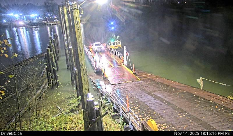
Image source: BC Ministry of Transportation and Transit
Latitude: 49.192411
Longitude: -122.722826
Google Maps: View
Apple Maps: View
Local Forecasts
Temperature, Relative Humidity and Wind Speed Chart
Loading Data...
Nearby Cameras
Barnston Island, at Barnston Island Ferry Landing, looking north.
Distance: approximately 0 metres
Port Kells, at Barnston Ferry Landing, looking west.
Distance: approximately 290 metres
Port Kells, at Barnston Ferry Landing, looking east.
Distance: approximately 290 metres
Highway 17 at 104 Avenue eastbound along Highway 17.
Distance: approximately 1.12 kilometres