Tupper - W Live Traffic Camera
Highway 2 about 2 km west of BC/Alberta border at Highway 2 and Highway 52 junction, looking west.
Location: Area D (Kiskatinaw Valley), Peace River Regional District, British Columbia, Canada
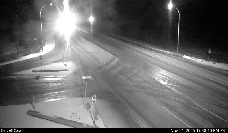
Image source: BC Ministry of Transportation and Transit
Latitude: 55.485333
Longitude: -120.031187
Google Maps: View
Apple Maps: View
Local Forecasts
Temperature, Relative Humidity and Wind Speed Chart
Loading Data...
Nearby Cameras
Highway 2 about 2 km west of BC/Alberta border at Highway 2 and Highway 52 junction, looking east.
Distance: approximately 0 metres
Highway 97 at Dangerous Goods Route, west of Dawson Creek, looking north.
Distance: approximately 34.86 kilometres
Highway 97 at Dangerous Goods Route, west of Dawson Creek, looking west.
Distance: approximately 34.86 kilometres
Highway 97 at Dangerous Goods Route, west of Dawson Creek, looking east.
Distance: approximately 34.86 kilometres