Irishman - S Live Traffic Camera
Highway 3 about 21 km southwest of Moyie, looking south.
Location: Area C (Moyie/Bull River), Regional District of East Kootenay, British Columbia, Canada
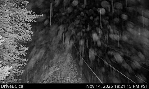
Image source: BC Ministry of Transportation and Transit
Latitude: 49.17203
Longitude: -116.00877
Google Maps: View
Apple Maps: View
Local Forecasts
Temperature, Relative Humidity and Wind Speed Chart
Loading Data...
Nearby Cameras
Highway 3 about 21 km southwest of Moyie, looking north.
Distance: approximately 0 metres
Highway 3 about 9 km northwest of Yahk near Goatfell, looking west.
Distance: approximately 13.61 kilometres
Highway 3 about 9 km northwest of Yahk near Goatfell, looking east.
Distance: approximately 13.61 kilometres
Highway 3 at Highway 95 junction by the Yahk Weigh Scale, looking northeast.
Distance: approximately 14.46 kilometres