Hwy 91A at Queensborough Bridge - E Live Traffic Camera
Highway 91A at the north end of Queensborough Bridge, looking east.
Location: New Westminster, Metro Vancouver Regional District, British Columbia, Canada
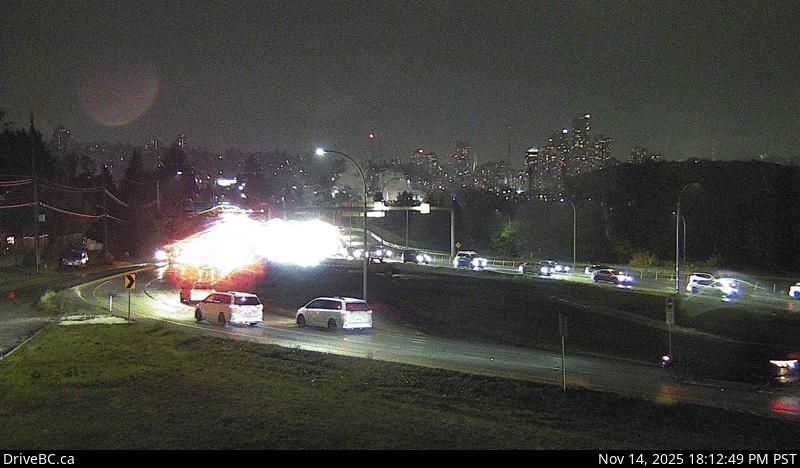
Image source: BC Ministry of Transportation and Transit
Latitude: 49.197791
Longitude: -122.950087
Google Maps: View
Apple Maps: View
Local Forecasts
Temperature, Relative Humidity and Wind Speed Chart
Loading Data...
Nearby Cameras
Highway 91A at the north end of Queensborough Bridge, looking south.
Distance: approximately 0 metres
Highway 91A west of Howes Street, looking east.
Distance: approximately 1.39 kilometres
Highway 91A west of Howes Street, looking west.
Distance: approximately 1.39 kilometres
Highway 91A at Boundary Road, looking east.
Distance: approximately 1.71 kilometres