Agassiz-Rosedale Bridge - N Live Traffic Camera
Hwy 9, north end of Agassiz-Rosedale Bridge, looking north.
Location: Kent, Fraser Valley Regional District, British Columbia, Canada
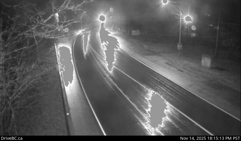
Image source: BC Ministry of Transportation and Transit
Latitude: 49.21924
Longitude: -121.773947
Google Maps: View
Apple Maps: View
Local Forecasts
Temperature, Relative Humidity and Wind Speed Chart
Loading Data...
Nearby Cameras
Hwy 9, north end of Agassiz-Rosedale Bridge, looking south.
Distance: approximately 0 metres
Highway 7 at Highway 9 (Evergreen Drive) in Agassiz, looking east.
Distance: approximately 2.43 kilometres
Hwy 9, at the north end of Rosedale Overhead, looking north.
Distance: approximately 2.51 kilometres
Hwy 9, at the north end of Rosedale Overhead, looking south.
Distance: approximately 2.51 kilometres